Parco Naturale Regionale di Bracciano - Martignano
www.parcobracciano.itThe Cycle Facilities of the Woodlands
- Trail Conditions: By bike
- Interest: Flora, Panorama, Hystory
- Departure: Oriolo Romano
- Arrival: Trevignano Romano
- Duration: 2 hour/s 30 minutes
- Difficulty Level: Intermediate-easy
- Length: 17.5 km
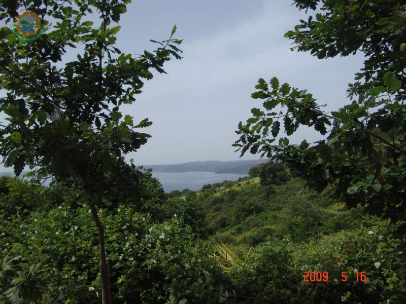
With a total length of 17,500 meters, it leaves from the car park of Oriolo Romano railway station (possibility to reach the cycle facilities using public means of transport) and leads to the car park of the sports ground in Trevignano Romano. The difficulty level is intermediate-easy. The trail develops on a dirt road for the 80%. It takes about 2 hours and 30 minutes to go along its main axis. The itinerary is characterized by the presence of large woodlands of extraordinary beauty and variety: Turkey oak and beech tree formations, chestnut groves, mixed woodlands, and even a pinewood. The final stretch of the trail consists of open environments, pastures and cultivated fields offering wonderful panoramas of Bracciano Lake and the crater chain of Sabatini Mountains. Along the cycle facilities, following the specific road signs, it is possible to close various itineraries. If you want to complete this route, it is required a bike in a very good state. Various uphill trails with a good grade and technical downhill trails make this itinerary a complete route under all points of view. It is necessary to have all the necessary equipment to face eventual mechanical problems. Considering that the only water supplies are situated in the towns and given the considerable length of the route and the distance from the town centers, it is recommended to make a good water supply before leaving. During the summer, the roadbed is very compact, while in case of rain the soil becomes rather slippery and requires adequate tyres for the mud.
![]() Download in pdf format (2Mb)
Download in pdf format (2Mb)


