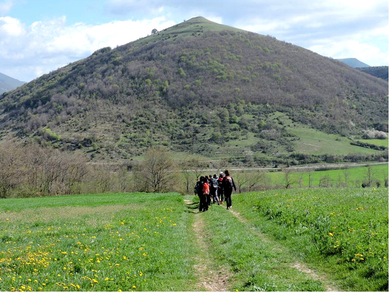
The Plateaus from the top of Monte Trella
Twenty thousand steps between Umbria and Marche
- Trail Conditions: On foot
- Interest: Geology, Panorama, Archeology, Photography
- Departure: Colfiorito - Sede del parco
- Duration: 4 hour/s
- Difficulty Level: E - Hiking (level)
- Length: 14 km
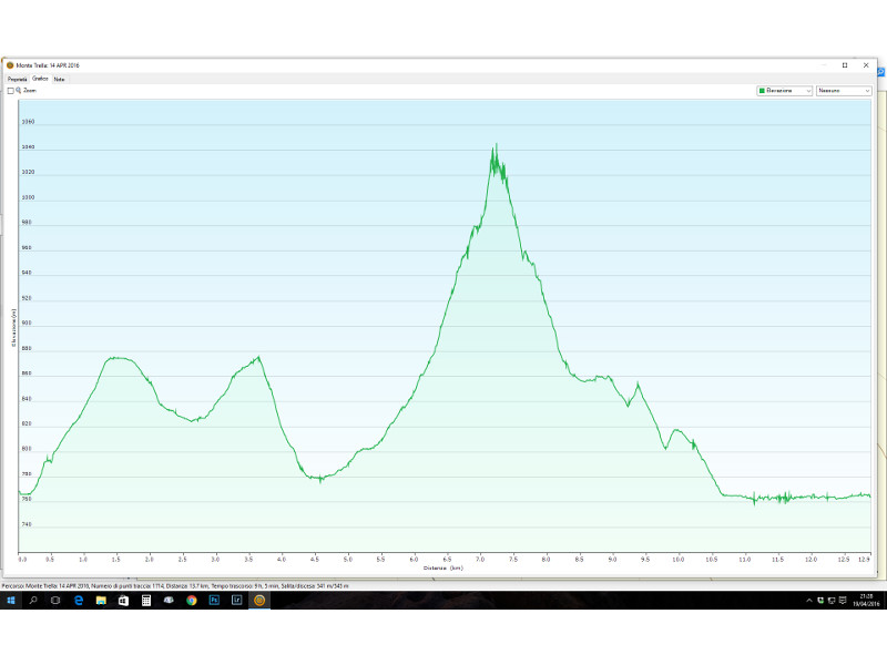
- Difference in height: 550m uphill and downhill
- Street: asphalt/unpaved/natural
- Infopoint: Corso Cavour, 137 - Foligno +39 0742/350129
Itinerary described and created by the 2015/2016 8th grade students of the school in Colfiorito
Teacher Patrizia Nardone
Ring route departing from the headquarters of the Colfiorito Regional Park.
You enter the town of Colfiorito by crossing the road just in front of the school, continue towards the Church of Santa Maria Assunta and, turning left, continue to climb up to the last houses of the town. Take a rut that passes through a pine forest.
Shorty after, in the lower right you could admire the underlying Marsh of Colfiorito, delimited by reeds while, in the distance, you will see the Selva i Cupigliolo and, on the left, the Monte Trella will appear.
Continue until you cross a path that descends to the left in the middle of a coppice wood towards the Cesi and Popola Plains. You will cross a small stream and arrive at the first houses of Cesi.
Once you reach the main road that crosses the town (the ancient via della Spina), turn left and take the unpaved road, towards Monte Trella. A path, whose traces are often lost, leads to the summit of Monte Trella, from which you could enjoy a 360° view on all Plestine Plateaus.
Go down the same path and back on the rut, then continue left towards Taverne.
To see the Buca del Diavolo (Devil's hole), you have to exit the path for about 10 mt. to the right, at the height of a meadow bordered by a pine forest. You reach the provincial road no. 96 and, going along it on the left, you get to the Basilica of Santa Maria di Plestia and then to Colfiorito.


 Download KMZ


