Parco del Mincio
www.parcodelmincio.itLeft bank Lago di Mezzo: from Ponte dei Mulini to Campo Canoa
- Trail Conditions: On foot, By bike
- Departure: Ponte dei Mulini
- Arrival: Campo Canoa
Length: 4 Km for the stretch (the itinerary could also be carried out as a ring route along the shores of Lago di Mezzo: km. 6)
Features: from Ponte dei Mulini to Porta Giulia: for pedestrians and bikes | from Porta Giulia to Campo Canoa: stretch on foot with bikes and a trail stretch
Starting points:
- from Ponte dei Mulini to Porta Giulia (street view 1
 )
) - from Ponte dei Mulini to Cittadella (2
 )
)
Arrival point:
- Campo Canoa (3
 )
)
Parking:
near the roundabout of Ponte dei Mulini and the Mincio lakefront (for a fee) (4![]() )
)
Piazza Porta Giulia (free) (5![]() )
)
Via degli Spalti (free) (6![]() )
)
Campo Canoa (free) (7![]() )
)
Tappa 1: Mantua's peri-urban Park
The pedestrian and cycle stretch of Lago di Mezzo is a ring route and passes along the two bridges of the town, Ponte dei Mulini (8![]() ) and Ponte di San Giorgio (9
) and Ponte di San Giorgio (9![]() ).
).
You could start from two points. From the beginning of Ponte dei Mulini towards Porta Giulia it is possible to park your car in the rest area near the roundabout (10 ) and take the pedestrian and cycle walkaway on the right side of the bridge (11
 ), or you could go down to the left side of the bridge (12
![]() ) and from here travel the shore of Lago Superiore towards the town of Cittadella (13
) and from here travel the shore of Lago Superiore towards the town of Cittadella (13![]() ).
).
Once arrived at the Porta Giuliesca of Cittadella (14![]() ), the itinerary goes to the left bank of the lake (15
), the itinerary goes to the left bank of the lake (15![]() ) on a path nestled in a green area that is home to natural environments, populated by native flora and fauna and the art installations of the Art Park (
) on a path nestled in a green area that is home to natural environments, populated by native flora and fauna and the art installations of the Art Park (![]() ). The itinerary reaches the Verdian Sparafucile turret (16
). The itinerary reaches the Verdian Sparafucile turret (16![]() ), bypasses Ponte di San Giorgio thanks to the ecotunnel of the Ecological Network (17
), bypasses Ponte di San Giorgio thanks to the ecotunnel of the Ecological Network (17![]() ) (
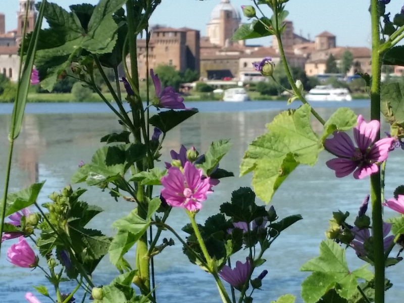
) (![]() ), which leads to the green area of Campo Canoa, from where you could admire the beautiful view of the Renaissance profile of the Gonzaga town (
), which leads to the green area of Campo Canoa, from where you could admire the beautiful view of the Renaissance profile of the Gonzaga town (![]() ).
).


 Download KMZ


