Mausoleo Trail
Trail for families
- Trail Conditions: On foot
- Interest: Flora, Panorama, Hystory
- Departure: Cavo
- Arrival: Cavo
- Duration: 2 hour/s
- Difficulty Level: for families
- Length: 5.2 km
- Difference in height: Uphill 139m
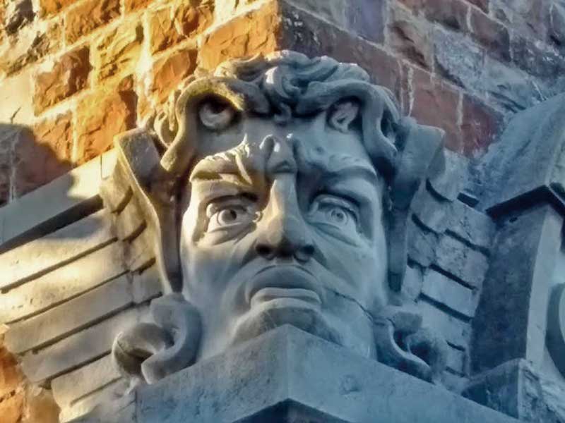
Cavo is a pleasant seaside spot on the north-western coast of Elba. You can get there from Rio Marina following the coastal road (Province road 26) or from Rio nell'Elba by the Parata (Province road 33). The itinerary begins and ends at this lovely little town. From a parking lot by the beach of Capo Castello, also known as Frugoso beach, take path No 260. The path unwinds inside the Maquis, so lush in places that it almost forms a tunnel; the plant biodiversity is amazing here. Rock roses and brooms colour the surroundings in the spring, while myrtle blooms in the summer and rosemary in autumn and at the end of the winter; in the coolest spots, the laurustinus bears its tiny, metallic blue fruits in the heart of winter. The path goes gently uphill, in a wide zig-zag on the side of Mt. Lentisco and to an evergreen oak wood that shades the way. Towards Capo Vita, which is the island's northernmost point, the path overlooks the two sides of the promontory, so that the walls of Portoferraio are visible to the west, and the islets of Topi and Palmaiola to the east. Path No 260 ends at a four-road junction near a picnic area: by going on or turning right you will follow the GTE; by turning left you will soon reach a peculiarly shaped stone building, the Tonietti Mausoleum. It was built at the beginning of the 20th century in neo-Gothic style; architect Adolfo Coppedè designed it as monumental family tomb for the Toniettis, but the building was denied the authorisation to be used as such, and was subsequently abandoned. The mausoleum consists of a might tower reminiscent of a lighthouse, but the structure is very deteriorated, so entering is strongly disadvised. Go back on the main path, turn left and follow the GTE to Cavo. At the end of the path Villa Bellariva, known as The Castle, is a further building the Toniettis commissioned at the end of the 19th century, also to showcase the wealth of the family.
Further information


 Download KMZ


