Carné Ring-route
- Trail Conditions: On foot
- Interest: Wildlife, Geology, Panorama
- Departure: Centro visita di Ca' Carné
- Duration: 3 hour/s
- Difficulty Level: easy
- Length: 5 km
The itinerary leaves from Ca' Carné Visitor Center, you can reach from road no. 23 of Monticino, SP road climbing from Brisighella town center and crossing the three hills dominating the famous medieval town and going round Rocca Veneziana and Monticino Church. Beyond Monticino Geological Museum, go ahead towards Riolo Terme, turning left in via Rontana, in loc. Case Varnello, and following the directions to Carné.
After parking the car in the lower car park of the Visitor Center, go ahead on foot, walking on the so-called "Gessi di Rontana", leaving on the left the summit of the homonymous mountain (484 meters).
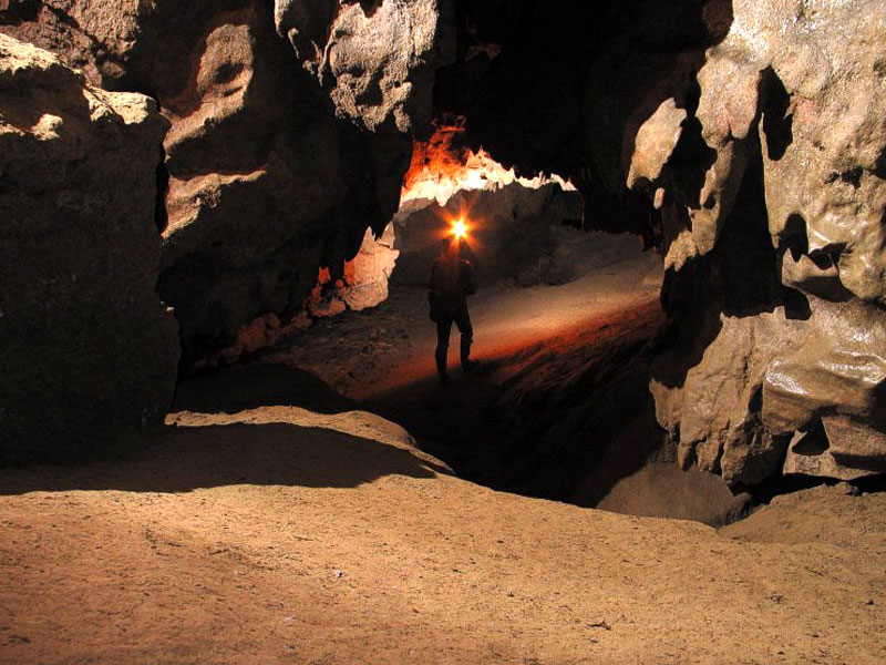
The area of Carné is characterized by a complex geological structure, with tectonic overlapping areas and faults; everything enriched by significant subterranean and surface phenomena, with a beautiful system of dolines developing along the access route to the center and interesting "candle-shaped" forms of erosion next to the carriage road.
You will reach in this way Ca' Carné, where you will find the Visitor Center and the mountain hut, with catering and accommodation service.


